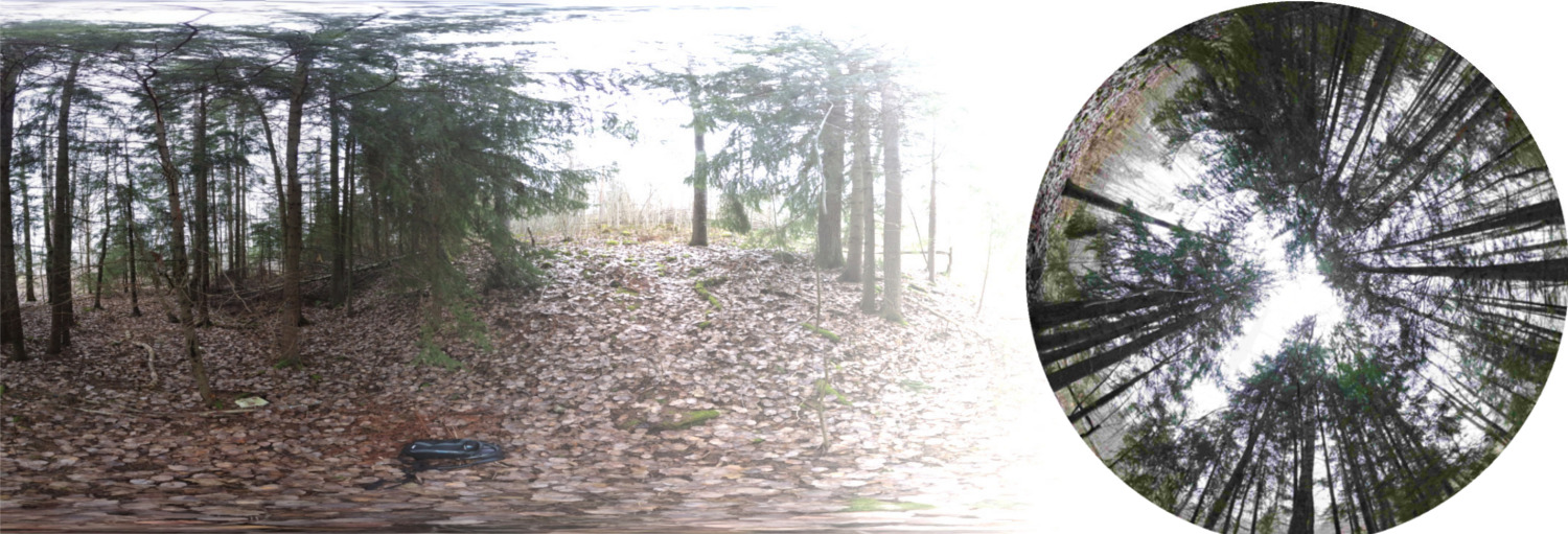
Canofi: convert 360 panoramas to hemispherical imagery for plant science applications
Warning: Canofi eats data, so please be careful if you are
on a data limited plan!
For more info scroll down or visit the Canofi project
homepage
LAI output: LAI not yet estimated
documentfile with no file ending. In that case, locate the file and rename it to
hemi.pngand your phone should show it as an image.